The Trail Behind Roma Hills Has Two Trailheads, and They're Not the Same Hike
August 20, 2026
August 20, 2026
Which end of the McCullough Hills Trail have you actually walked?
If you live in Roma Hills, somewhere in the back of your mind is a vague sense that there's a trail out there behind the hills toward Anthem. Most residents who've hiked it at all have done so from one direction, out and back, and assumed that's the whole experience. It isn't. The McCullough Hills Trail has two front doors about eight miles apart, and depending on which one you use, you get a different hike, a different set of rules, and in one case, a piece of construction news that doesn't actually apply to you no matter how many times it shows up in a search result.
The City of Henderson built and now maintains the McCullough Hills Trail, officially Trail 601, as a roughly eight-mile route across the northern end of the Sloan Canyon National Conservation Area. It has exactly two formal access points, and they behave nothing alike:
The trail's own mile markers start at 0 near Mission Drive and count up to 7 as you approach Anthem Hills Park, so the numbering runs east to west. If you've only ever parked at Mission Drive, you've been reading the trail in one direction your entire time living here. If you've only used the Anthem Hills Park side, you've been reading it backward.
There's a wrinkle worth knowing if anyone ever tells you to park on McCullough Hills Parkway near Del Webb Middle School. That was the original trailhead when the route was built in 2014, but the area became a no-parking zone in 2016. Anyone repeating old directions is sending you to a curb where you'll get ticketed, not a trailhead.
Search around for trail data on the McCullough Hills Trail and you'll find what looks like contradictory information. One database lists it as a moderate, family-friendly route with about 1,053 feet of elevation gain over roughly eight miles. Another lists a 16.1-mile route rated hard, with 1,807 feet of gain and a completion time of six and a half to seven and a half hours.
Both are correct. They're describing two different ways to use the same trail. The eight-mile figure is the one-way point-to-point hike, from one trailhead to the other, which is what you'd do if you park a car at each end or arrange a pickup. The 16.1-mile figure is what happens if you do it out and back from a single trailhead, which is the far more common way locals actually use it: park at Mission Drive, walk in as far as you want, then walk back to your car.
Neither of those is what most Roma Hills residents are doing on a Tuesday evening. If you're heading out for an hour after work, you're walking a few of the 600-series off-shoot trails that branch from the main route toward the nearest high points, not attempting the full point-to-point or its out-and-back double. Knowing the mile-marker system matters here. A quick check of which marker you're near tells you exactly how far you are from either trailhead, which is the difference between a pleasant loop and a longer walk back than you planned for.
Summer temperatures in this part of the Mojave regularly climb past 100 degrees, and the trail itself offers almost no shade once you're past the first stretch near either trailhead. That's not a seasonal footnote in mid-August, it's the operating condition for the next several weeks. Every source that covers this trail says the same thing: go early, carry more water than you think you need, and treat the middle of the day as off-limits.
One detail that's useful specifically for summer evenings: the trail system's lighted sections stay open from 5 a.m. to 11 p.m., while unlit stretches follow dawn to dusk. That gives residents a real option for a post-sunset walk once the day's heat has broken, rather than treating the whole route as an early-morning-only proposition.
Dogs are allowed on leash on the McCullough Hills Trail itself, which matters because it's easy to assume the rules are uniform across Sloan Canyon. They aren't. Further south in the same conservation area, the Petroglyph Canyon Trail prohibits dogs entirely except service animals, a restriction tied to protecting the rock art panels there. If you're bringing the dog, you're fine on the trail behind Roma Hills. You would not be fine on the petroglyph route.
Search "Sloan Canyon closure" this year and you'll find a real, dated notice from the Bureau of Land Management: Nawghaw Poa Road and the parking area at its end are closed from November 12, 2024 through November 11, 2026, while BLM builds a new visitor contact station. The Petroglyph Canyon Trail and the 101 Trail have been rerouted, with parking temporarily relocated to Democracy Drive.
That notice has nothing to do with the trail behind Roma Hills. Nawghaw Poa Road and Democracy Drive access the southern, petroglyph section of the 48,438-acre conservation area, a completely separate entrance from Mission Drive or Anthem Hills Park. The McCullough Hills Trail occupies the 14,763-acre McCullough Hills section at the north end, and neither of its trailheads is affected by the construction. If a search result made you think your local trail was closed, it wasn't talking about your local trail.
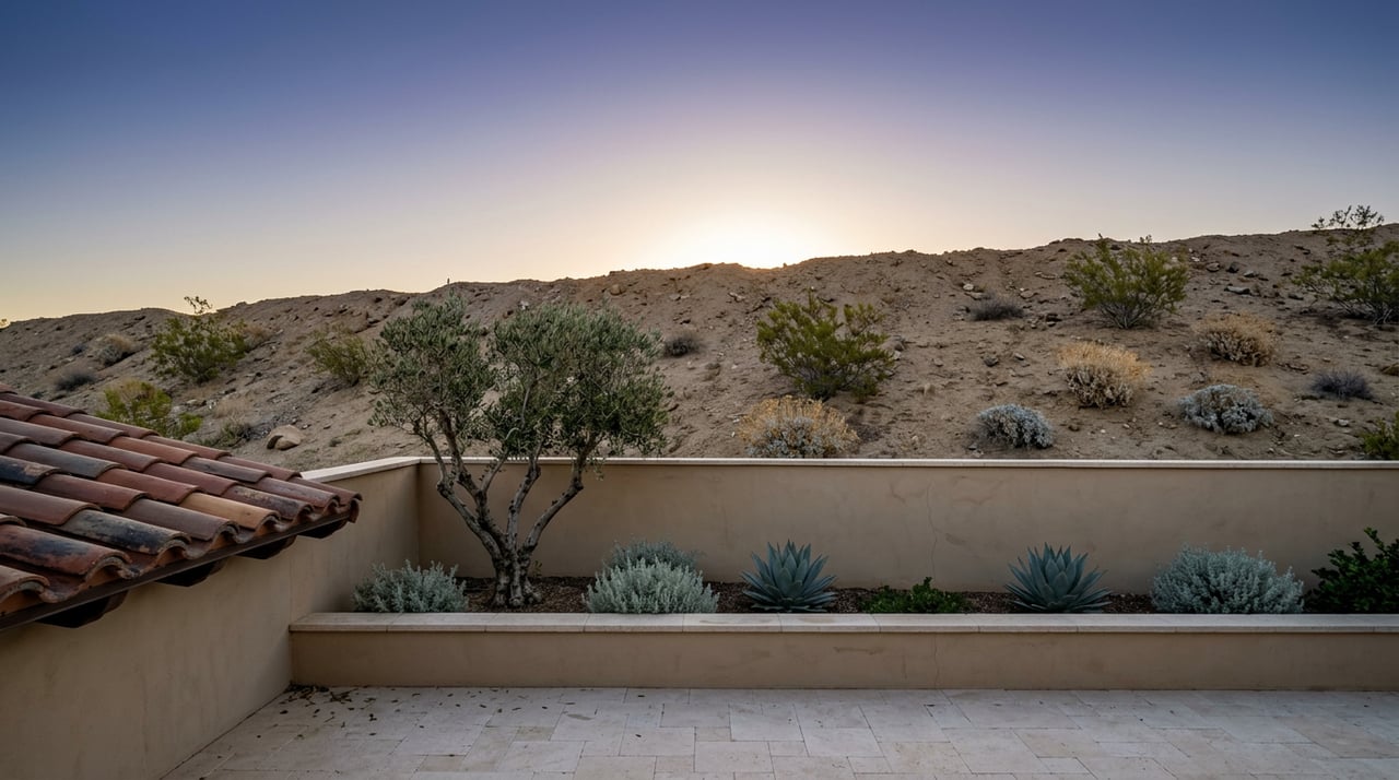
The terrain along the way is Mojave scrub, dominated by creosote and white bursage at lower elevations, with the trail climbing from around 2,503 feet near the low points to about 3,138 feet at its highest. Desert bighorn sheep have been photographed along the route, which is the kind of sighting that turns an ordinary evening walk into the thing you mention at dinner. Spring hikers report wildflowers scattered among the scrub, though like most of the Mojave, that's weather-dependent rather than a guarantee.
The views shift depending on which half of the trail you're on. The eastern stretch faces back toward the Las Vegas Valley and, on clear days, out toward Red Rock. The western half, closer to Anthem Hills Park, opens up in the other direction. If you've only ever hiked one end, you've genuinely only seen half of what the ridge offers.
If you come off the Mission Drive side hungry, Chef's Roma Kitchen on West Horizon Ridge Parkway is a few minutes away and has built a local reputation around its seafood, branzino in particular. It's the kind of low-effort answer to "what's for dinner" that only works if you already know it's there, which is the whole point of living a few minutes from it.
The trail behind Roma Hills has been open, mapped, and mostly misunderstood by the people closest to it for over a decade. Knowing which trailhead you're actually using, what the mileage numbers really mean, and which closure notices don't apply to you turns a vague sense of "there's a trail back there" into something you use on a Tuesday.
For more on the neighborhoods that back up to this stretch of Henderson's hillside corridor, including how Roma Hills compares to the communities around it, Prescindia Misch has been mapping this part of the valley for years. If you'd like to talk through anything related to your home or the neighborhood itself, request a private consultation any time.
Stay up to date on the latest real estate trends.